Naviguer sur Géoportail peut parfois ressembler à explorer une carte au trésor numérique. Mais que faire si vous perdez le nord, littéralement ? Pour les passionnés de cartographie ou les amateurs de randonnée, savoir orienter une carte en un clic est essentiel. Pourtant, cette fonctionnalité simple reste méconnue de beaucoup.
Avec ses outils puissants et intuitifs, Géoportail offre bien plus qu’un simple affichage de cartes. Mais pour tirer pleinement parti de ses fonctionnalités, encore faut-il savoir où chercher. Découvrez comment afficher le nord sur Géoportail et transformez votre expérience de navigation en ligne.
Qu’est-ce Que Géoportail ?
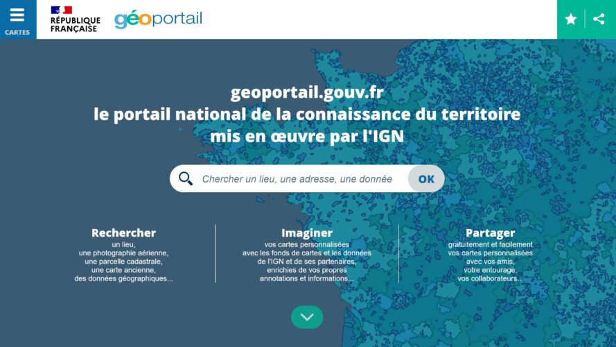
Géoportail est une plateforme de cartographie en ligne développée par l’Institut national de l’information géographique et forestière (IGN). Elle offre un accès gratuit à une vaste collection de données géographiques et cartographiques de la France métropolitaine et des territoires d’outre-mer.
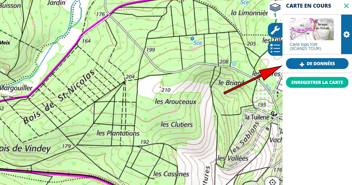
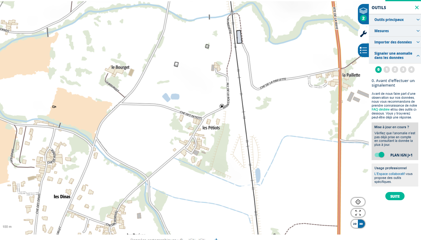
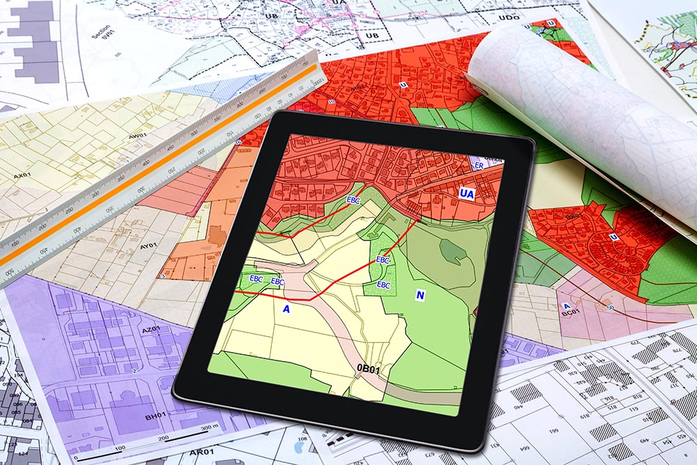
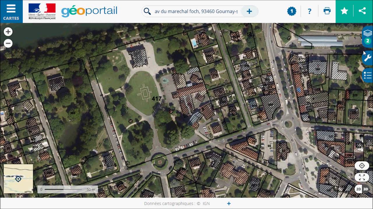
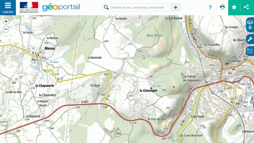
Les utilisateurs consultent différentes couches cartographiques, comme les cartes topographiques, les photographies aériennes ou les cartes cadastrales. Chaque carte propose une précision adaptée aux besoins professionnels ou personnels, comme la planification d’activités ou l’exploration du territoire.
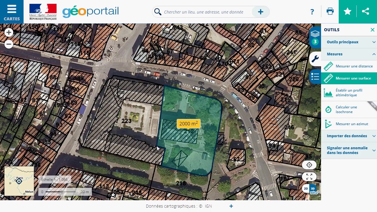
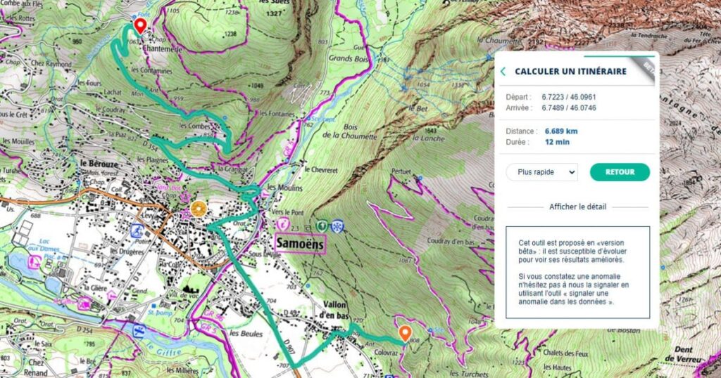
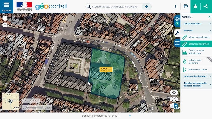
Géoportail utilise une interface intuitive, permettant de rechercher des lieux, d’ajouter des annotations ou d’effectuer des mesures. Ces fonctions facilitent l’interprétation des données géographiques et soutiennent des usages variés dans l’éducation, le tourisme ou l’urbanisme.
Importance De Localiser Le Nord Sur Géoportail
Localiser le nord sur Géoportail permet une orientation correcte sur la carte. Sans cette information, l’interprétation des données géographiques devient imprécise, en particulier pour les utilisateurs analysant des zones spécifiques, comme en urbanisme ou en randonnée.
Comprendre la position du nord facilite la cohérence entre la carte numérique et la réalité du terrain. Cette étape est essentielle pour aligner les trajectoires et calculer des distances, garantissant des résultats fiables dans des projets professionnels ou récréatifs.
L’affichage du nord est également critique pour superposer plusieurs couches cartographiques. Les utilisateurs travaillant avec des cartes topographiques, des parcelles cadastrales ou des photographies aériennes bénéficient d’une vision harmonisée, indispensable pour des études précises ou des activités comme l’exploration et la planification.
Ainsi, l’accès à cette fonction sur Géoportail optimise l’exploration des territoires français et des DOM-TOM, enrichissant significativement l’expérience utilisateur.
Étapes Pour Faire Apparaître Le Nord Sur Géoportail
L’affichage du nord dans Géoportail améliore la précision lors de l’interprétation des cartes. Suivez les étapes suivantes pour activer cette fonctionnalité.
Connexion À Votre Compte
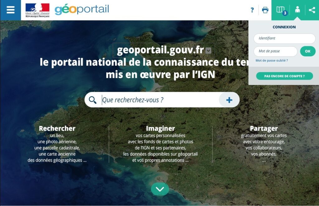
L’utilisateur accède au site Géoportail en entrant l’URL officielle dans le navigateur : www.geoportail.gouv.fr. Il clique ensuite sur « Se connecter », situé en haut à droite de l’écran, et entre ses identifiants. Si aucun compte n’existe, un bouton « Créer un compte » permet l’inscription.
Accès Aux Outils De Navigation
Une fois connecté, l’utilisateur repère le menu principal en haut de l’écran. Il sélectionne l’icône « Outils » ou « Paramètres » selon l’interface. Cette section regroupe des fonctionnalités comme les couches, les mesures et l’orientation.
Activation De La Boussole
Dans le menu des outils, l’utilisateur localise l’option « Boussole » ou « Orientation » et l’active en cliquant sur son symbole. Une flèche ou un indicateur de direction apparaît alors sur la carte, indiquant le nord géographique ou magnétique selon les réglages.
Ajustements Et Calibrage
L’utilisateur vérifie l’orientation en observant les coordonnées affichées sur la carte. Si nécessaire, il ajuste manuellement la position en cliquant et en faisant glisser la carte ou en recentrant la vue depuis l’option « Recentrer ». Les paramètres avancés permettent d’affiner l’affichage, incluant la superposition de plusieurs couches cartographiques.
Avantages D’utiliser La Fonction de Nord Sur Géoportail
La fonction pour afficher le nord sur Géoportail offre des bénéfices pratiques pour une utilisation efficace des cartes en ligne. Elle simplifie l’analyse et améliore la précision dans divers contextes.
Orientation Améliorée
L’affichage du nord sur Géoportail garantit que la carte est alignée correctement avec la réalité géographique. Cette précision est particulièrement utile pour comprendre la position des lieux par rapport à des repères connus. Par exemple, les randonneurs peuvent planifier leurs itinéraires en évitant les erreurs d’orientation. Les urbanistes, en revanche, s’assurent que les cartes respectent les référentiels spatiaux précis lors de la superposition des couches cartographiques.
Navigation Plus Précise
La fonction améliore la navigation pour les utilisateurs analysant des points spécifiques. Elle facilite l’identification des distances et directions exactes entre deux lieux. Par exemple, les touristes explorant des régions nouvelles peuvent suivre des trajets optimaux. Les professionnels travaillant avec des données géographiques complexes, comme les agriculteurs ou les géomètres, bénéficient également de ces ajustements fiables, qui réduisent les erreurs lors de la prise de décision.
Astuces Et Conseils Pratiques
- Utiliser la fonction de recherche
Sur Géoportail, la barre de recherche simplifie l’accès à des lieux spécifiques. En saisissant un toponyme ou une adresse précise, les utilisateurs accèdent rapidement à la zone d’intérêt. Par exemple, la recherche de « Mont-Blanc » affiche automatiquement cette région sur la carte.
- Activer la boussole pour le nord
Pour afficher le nord, l’option « Boussole » doit être activée dans le menu des outils. Une flèche rouge indiquant le nord apparaît alors sur la carte. Cet outil reste visible même lorsque la carte est déplacée ou agrandie, garantissant une orientation constante.
- Personnaliser l’affichage des couches cartographiques
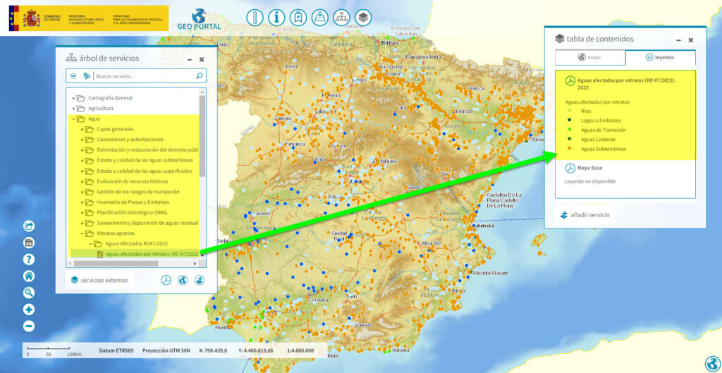
Géoportail propose une superposition de couches comme les cartes IGN, cadastres et orthophotos. L’utilisateur peut régler la transparence pour mieux analyser les données. Par exemple, combiner une carte topographique avec des images aériennes offre une vision plus complète d’une zone.
- Sauvegarder des positions stratégiques
En créant un compte sur Géoportail, les utilisateurs peuvent enregistrer des points sur la carte. Ces positions enregistrées permettent un accès rapide à des lieux récurrents.
- Consulter les coordonnées précises
L’option « Coordonnées » située dans le menu outils montre la latitude et la longitude exactes du lieu pointé. Les professionnels trouvent cette fonctionnalité précieuse pour des projets nécessitant une précision accrue.
- Utiliser les raccourcis clavier efficaces
Plusieurs raccourcis clavier optimisent l’exploration. Par exemple, « Ctrl + flèches directionnelles » déplace la carte, et « Ctrl + molette de la souris » ajuste le zoom. Ces gestes réduisent le temps de navigation.
- Télécharger les données cartographiques importantes
Géoportail offre une option de téléchargement pour des cartes ou couches spécifiques. Les utilisateurs peuvent ainsi travailler hors ligne sur des projets nécessitant une consultation locale des données.
Conclusion
Maîtriser l’affichage du nord sur Géoportail transforme l’exploration cartographique en une expérience précise et efficace. Cette fonctionnalité, souvent sous-estimée, joue un rôle clé dans l’orientation et l’analyse des données géographiques. En exploitant pleinement les outils offerts par la plateforme, les utilisateurs, qu’ils soient amateurs ou professionnels, peuvent optimiser leurs projets tout en minimisant les erreurs. Géoportail ne se limite pas à une simple carte; il devient un véritable allié pour naviguer, planifier et explorer avec confiance.
